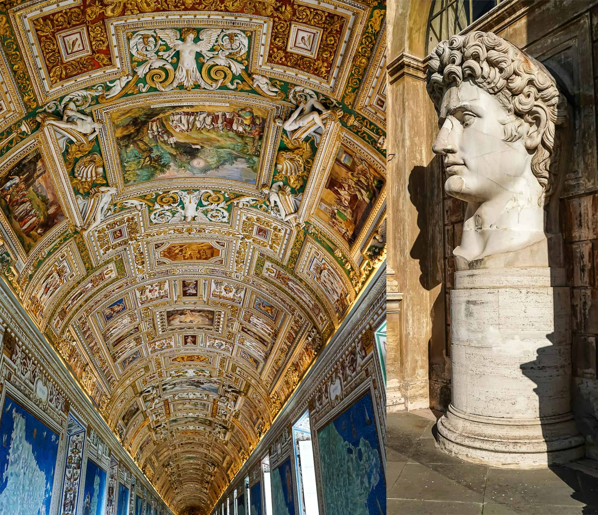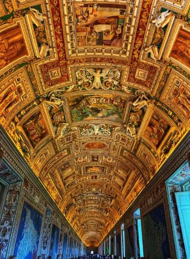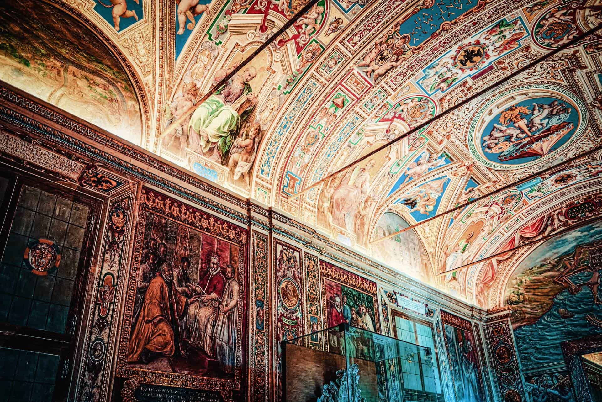
The Gallery of Maps in the Vatican Museums is one of the most visually stunning and historically significant corridors in the museum complex. Created between 1580 and 1583 under the direction of Pope Gregory XIII, the gallery features a series of 40 large frescoed maps that depict the various regions of Italy, along with important cities and territories that were part of the Papal States. These maps, painted by the artist Ignazio Danti, offer a fascinating glimpse into the geography, history, and cartography of the 16th century.
Stretching for 120 meters, the Gallery of Maps is an impressive space not only for its size but also for its artistic grandeur. The vaulted ceiling is richly decorated with detailed frescoes that depict religious scenes and symbols, adding to the gallery’s magnificent atmosphere. Each map is incredibly detailed, showing mountains, rivers, cities, and even historical events, making it a combination of artistic beauty and scientific knowledge.
The Gallery of Maps is part of the main visitor route and leads towards the Sistine Chapel. Its vibrant colors, intricate details, and historical importance make it one of the most memorable stops in the Vatican Museums, offering visitors an extraordinary journey through the landscapes of Renaissance Italy.